3D Laser Scanning and Point Cloud to BIM Conversion in Revit – Haarlem Station
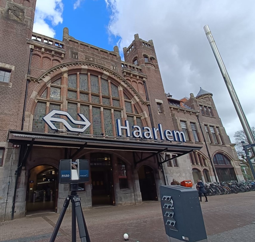
For our client, we conducted a full 3D survey of the Haarlem Central Station building. This was a unique project in which we fully leveraged our expertise in 3D laser scanning and BIM modeling.
Project Objective
To accurately document the mechanical installations (HVAC systems), with the ultimate goal of creating a detailed and reliable BIM model in Revit representing the existing conditions.
Surveying a Complex Building
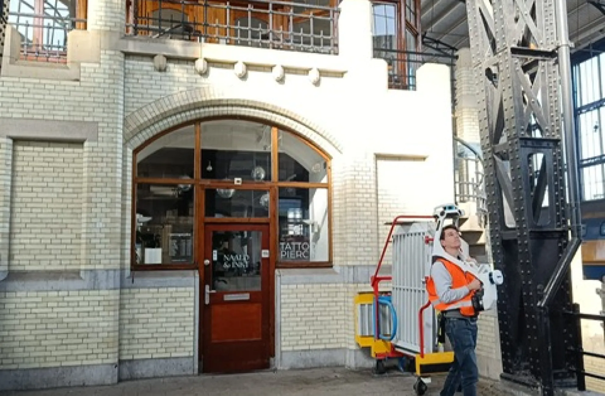
The station building features a wide variety of spaces and installations, requiring a meticulous and technically sound approach. Among other things, we documented the following parts of the building:
- Public areas
- Offices
- Commercial spaces
- Technical rooms
Our Approach
To achieve a comprehensive and accurate representation, we combine various measurement systems and techniques:
- Establishing a measurement grid with control points for maximum precision
- NavVis VLX – For fast and efficient scanning of smaller, occupied spaces
- FARO high-end scanners – For detailed captures of large areas with extensive installations
The resulting point clouds are structured by building section and merged into a single dataset. We then integrate these with the available historical drawings and translate the combined data into a Revit BIM model of the existing condition, including all relevant HVAC systems.