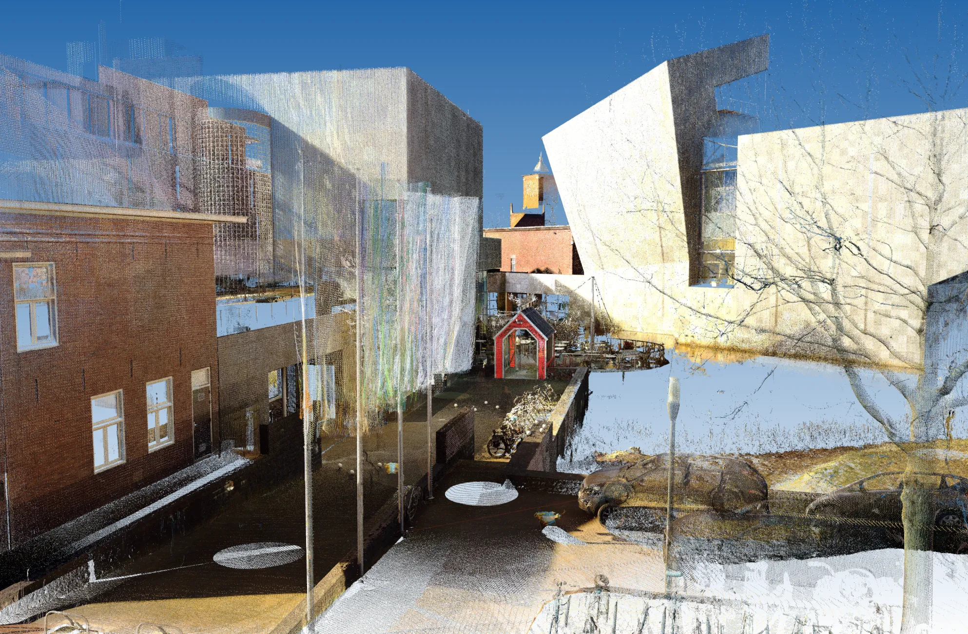
3D Survey / Point Cloud – Van Abbemuseum, Eindhoven
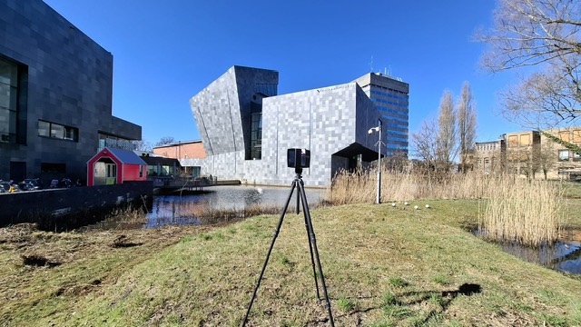
For the planning of the new entrance to the Van Abbemuseum in Eindhoven, BIMND was commissioned to carry out a precise 3D survey of the project area using laser scanning technology.
A beautiful assignment, made even more special by the fact that it took place in our hometown, Eindhoven. The pleasant weather during the survey also worked in our favor.
Purpose of the Survey
The objective of this 3D survey was to accurately capture all relevant elements on and around the site, including:
- Existing trees
- Light poles
- Manholes and underground waste containers
- Water well and flood barrier
- Terrain elevation and connection to the public road
These elements are essential inputs for the design and further development of the new entrance.
Techniques Used
For this survey, we used static laser scanners from FARO Technologies in combination with a total station. This allowed us to accurately geo-reference the data using RD coordinates and relative to NAP (Dutch vertical datum).
From Point Cloud to 3D Model
The resulting point cloud is processed into a detailed 3D terrain model in Revit. This model serves as the foundation for further design and planning within the BIM environment.
We wish all involved parties much success and inspiration as they move forward with the development of this unique project!